MAN Wiki
Geology field study (Rev #6, changes)
Showing changes from revision #5 to #6:
Added | Removed | Changed
While While field study and field research are distinct terms, they are often used interchangeably in academic contexts, with their specific differences depending on the discipline. In social sciences, for example, “field research” typically involves actively gathering data through methods like interviews, experiments, or questionnaires, whereas “field study” focuses more on observing and documenting phenomena in natural settings.field study and field research are distinct terms, they are often used interchangeably in academic contexts, with their specific differences depending on the discipline. In social sciences, for example, “field research” typically involves actively gathering data through methods like interviews, experiments, or questionnaires, whereas “field study” focuses more on observing and documenting phenomena in natural settings.
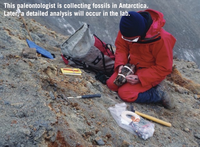
Geology field study, also referred to as fieldwork. In Geology, a Geology field study generally refers to the process where geologists directly observe, record, and analyze geological features—such as rock outcrops, stratigraphic sequences, structural formations, or fossils — in natural environments. Through systematic mapping, specimen collection, and detailed documentation of these features, geologists reconstruct regional geological histories or develop evolutionary models, ultimately determining the geological history of an area.
Introduction of Geology field study
Geology field study, also referred to as fieldwork. In Geology, a Geology field study generally refers to the process where geologists directly observe, record, and analyze geological features—such as rock outcrops, stratigraphic sequences, structural formations, or fossils — in natural environments. Through systematic mapping, specimen collection, and detailed documentation of these features, geologists reconstruct regional geological histories or develop evolutionary models, ultimately determining the geological history of an area.
Components of Field Studies
Geological instruments
Topographical maps
The data collected during the field studies, are needed to be documented. The dataare plotted on a topographical map, pertaining to the area undertaken for the geological mapping exercise, The topographical maps, therefore constitute the starting point of the field studies. [1]
- Size
- Symbols and colors Topographic Map Symbols - USGS Publications Warehouse
Aerial photographs and the satellite imageries
Clinometer compass
Pocket lens
Penknife
HCI acid
Sample bags
Camera
References
[1] N.W. Gokhale, A Guide to Field Geology. CBS Publishers & Distributors, 2006. [2]The range of information is indicated by the title of a map produced in 1766: A Topographical Map of Hartfordshire from an Actual Survey in which is Express’d all the Roads, Lanes, Churches, Noblemen and Gentlemen’s Seats, and every Thing remarkable in the County, by Andrew Dury and John Andrews, reprinted by Hertfordshire Publications in 1980. This showed the relief by using hachures?.